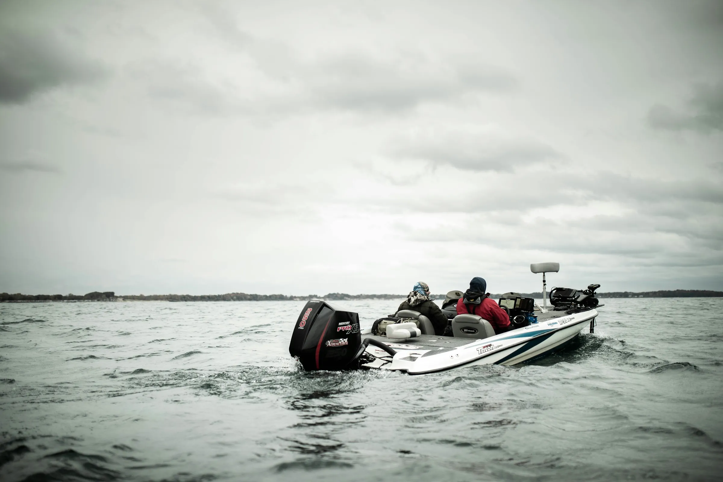
Free on iOS & Android
A guide that already knows the day.
Ask where to start on 20,000+ Midwest lakes and rivers. Depth, presentation and the hour to fish it — no setup, no homework.
20,000+
Lakes & rivers
9
Midwest states
DNR
Survey & stocking records
Free
iOS and Android
Most apps show you water. GuideHour shows you the day.
Four screens do most of the work.
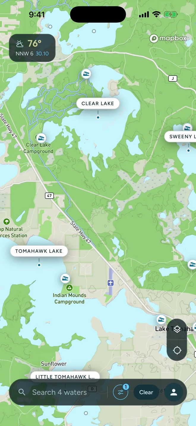
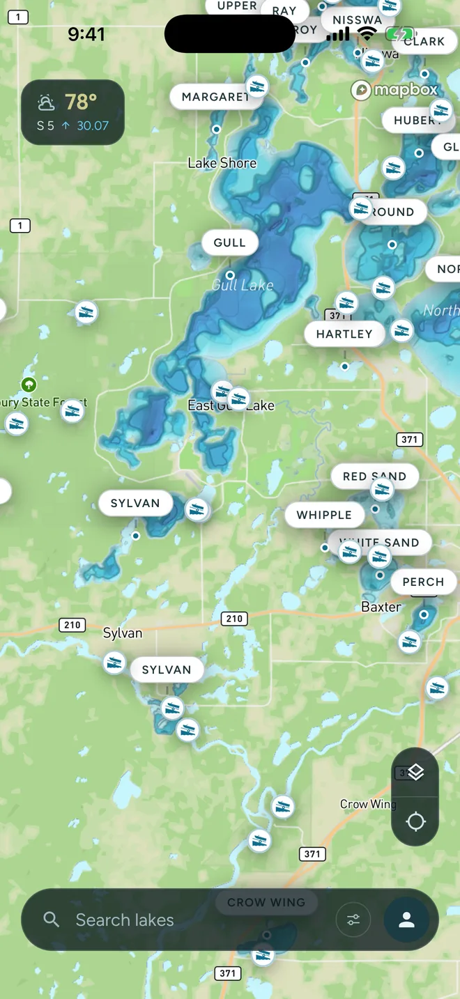
Open on the water
Filter lakes by species, depth, size and boat landings.
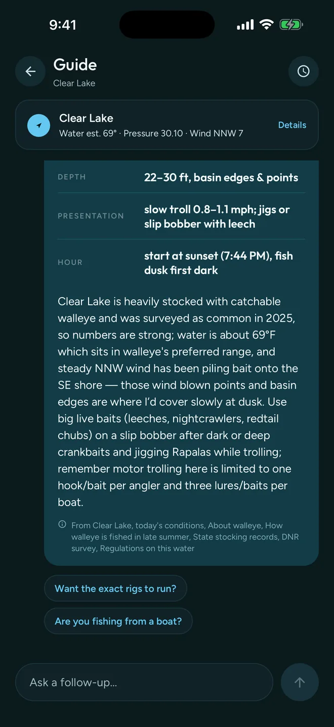
Ask the guide
Depth, presentation and the hour — plus what it read to get there.
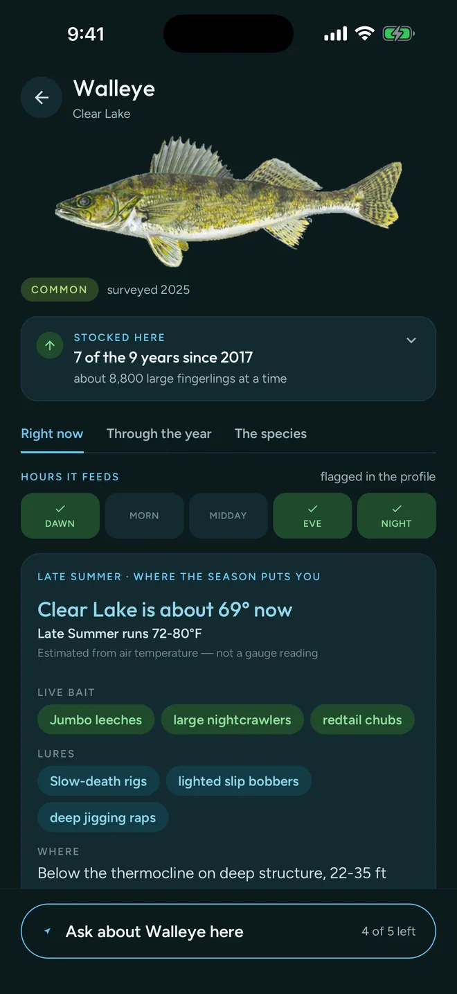
Know the fish
Bait, lures, holding depth and stocking history, by season.
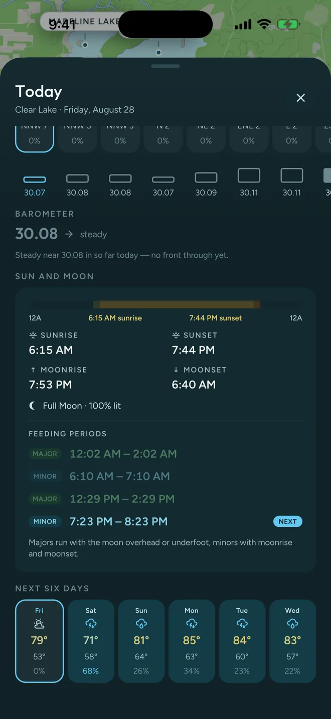
Read the day
Barometer, sun and moon, and the day's feeding windows.
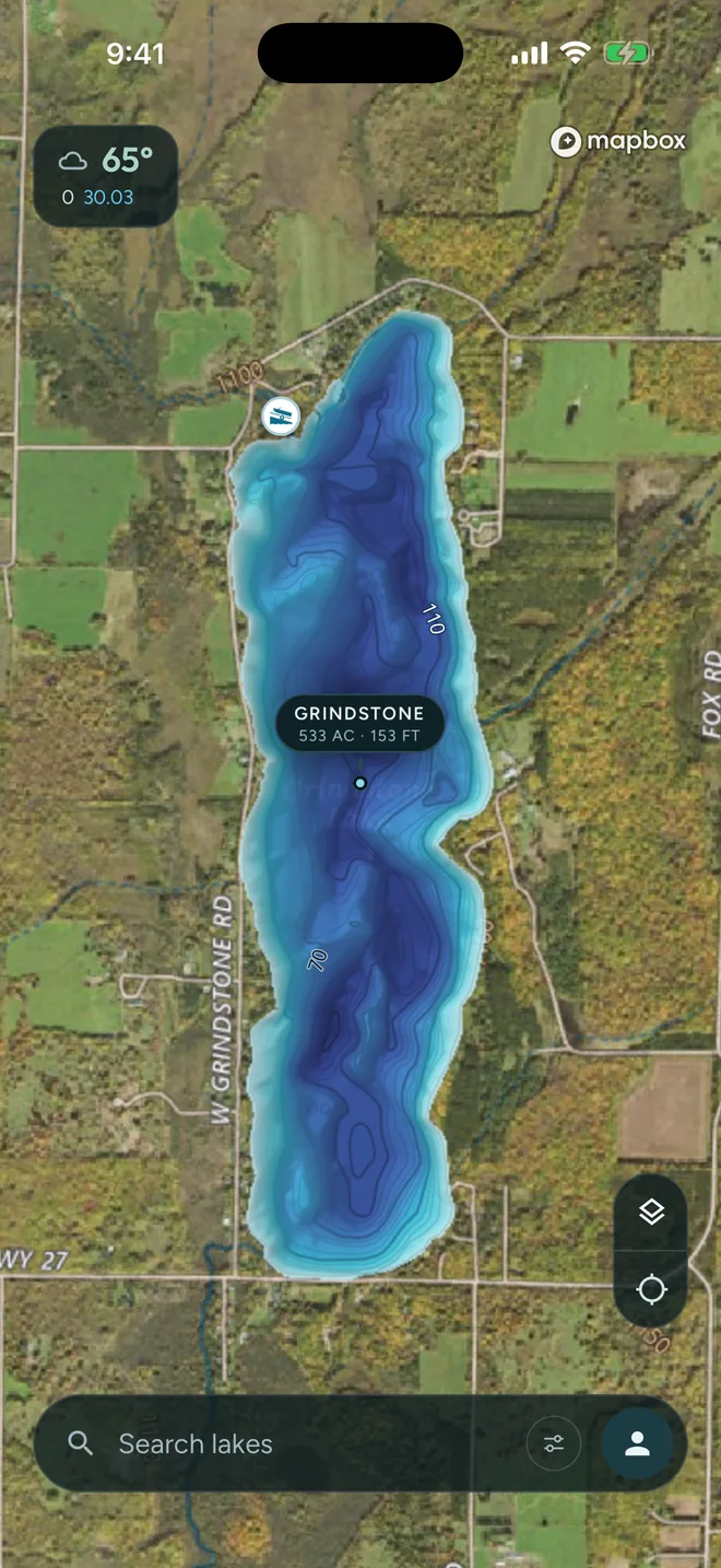
Depth maps
Every contour, before you launch.
- Surveyed contours and full-color depth shading
- 3D rendered maps and 3D viewing in MN and MI
- Outdoors basemap or satellite underneath, with boat landings
- Contours live in MN, IA, IN, MI and NE — more on the way
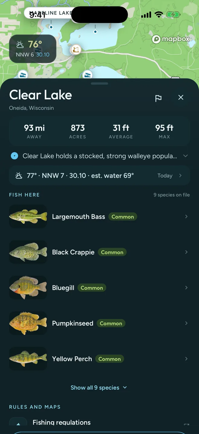
Lake & DNR data
The whole water on one sheet.
- Acres, average and maximum depth, distance from you
- Species on file, with how common each one is
- Surveys, stocking history, water quality and regulations
- Today's conditions on that exact water
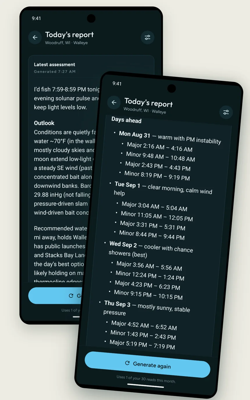
AI fishing report
A daily read on the bite.
- Written each morning for your water and species
- The hours worth fishing, and where fish are holding
- Days ahead with their major and minor feeding periods
- Regenerate it whenever conditions shift
What the guide reads first.
Three sources, every time you ask — plus your own logbook.
The day
- Days of weather leading up to now
- Wind, sky and air temperature
- Barometric pressure and its trend
- Water temperature, live where gauged
- Sun, moon and feeding periods
The water
- Acres, average and max depth
- Contours where surveyed — five states today
- Boat landings and shore access
- State survey and stocking history
- Regulations for that water
The fish
- What it eats, and what works on it
- The depth and structure it holds on
- The hours of the day it feeds
- How that shifts with season and temp
- Whether it's stocked there, and how heavily
And your own logbook. Log species, counts, bait and hours. Over a season the guide works from how you fish, not anglers in general.
Where it works
Built deep on Midwest water.
Depth contours & 3D beds
Five states
Lakes, DNR data & species
Nine states
Guide, report & conditions
Every water we cover
All 20,000+ lakes and rivers in the app.
Out now on iOS and Android.
Free to download. Ask the guide where to start on the water you're headed to.